
Airborne survey to map minerals and hazards across eastern California
Helicopters will collect magnetic and radiometric measurements over eastern California and a small part of western Nevada.
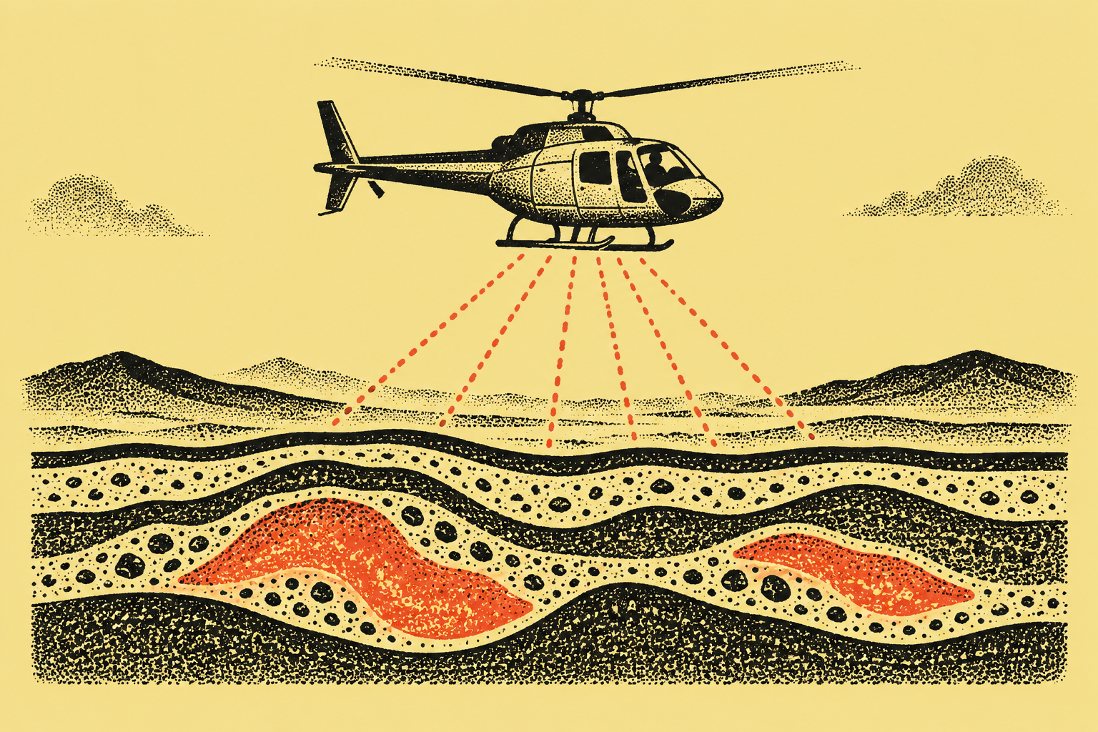 AI illustration
A new airborne survey will gather subsurface information for mineral exploration, geothermal energy assessment and the study of volcanic and earthquake hazards in eastern California and part of western Nevada. The low-level flights are planned to begin in early October.
The work brings together the U.S. Geological Survey's Earth Mapping Resources Initiative and the California Geological Survey. Survey areas include part of the western Great Basin, where known mineral resources sit alongside areas with further exploration and production potential.
Helicopters will collect magnetic and radiometric measurements along pre-planned lines 660 feet apart, at an altitude of 330 feet. The geological survey has contracted NRG Exploration USA Inc. and Woolpert for the airborne collection work. Sensors will be housed in an extension from the helicopters' main cabin or skids.
The instruments are passive. The agency said their emissions pose no risk to people, animals or plants, and that the flights will collect no photographs or video. Specially trained pilots approved for low-level flying will operate during daylight hours only.
Flights will use Bishop and Lone Pine airports and cover Fresno, Inyo and Mono counties in California, along with Esmeralda and Mineral counties in Nevada. The data will help assess subsurface conditions in locations including the Long Valley caldera, the eastern Sierra Nevada range front and Owens Valley.
Potential resources in the survey area include lithium, copper, graphite, tungsten and other minerals. The area includes the historic Pine Creek tungsten mine near Bishop. The broader mapping initiative also uses geochemical surveys, topographic mapping and other geological methods. Collected information will be made freely available to the public, providing a foundation for subsequent research and exploration.